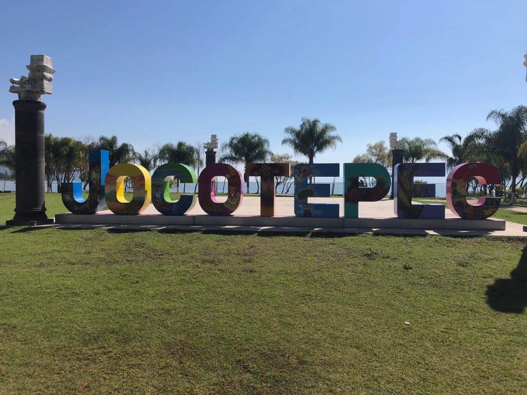
Jocotepec, Jalisco.
A total of 125 municipalities make up the Mexican state of Jalisco, including Jocotepec. The city of the same name is the municipal seat of the municipality. It is located in the center of the state, within the Southeast region1.
Jocotepec is located at coordinates 20°10’00” and 20°25’00” north latitude, and 103°17’30” and 103°33’10” west longitude, with an average altitude of 2100 meters.
The municipality borders to the north with the municipality of Tlajomulco de Zúñiga; to the east with the municipality of Ixtlahuacán de los Membrillos and Chapala; to the south with the municipalities of Chapala, Tuxcueca, Teocuitatlán de Corona and Zacoalco de Torres; and to the west with the municipalities of Acatlán de Juárez and Zacoalco de Torres.
In January the festival is in Jocotepec “Patronal Festivals in honor of the Lord of the Mountain from January 6 to 20”
The town was founded by indigenous groups from Cutzatalan or Cotzalan, among the pots, now San Juan Cosalá, who requested that their chief, “Xitomatl” or “Tzacuaco”, (a man with large bulging eyes), establish other towns such as Ajijic, Tzapotlán, which became San Cristóbal, Xocotepec and Tomatlán. This region, before the conquest, was inhabited by idolatrous, naked and wandering aborigines.
The conquest was carried out peacefully by Alonso de Ávalos in 1524, with the founders of de los Reyes, Andrés Joseph, Pablo Roque and families. The decree that established it as a municipality is unknown, although the one of April 12 mentions it as a municipality. In 1825 it had a Town Hall, and on March 13, 1832 it acquired the title of Villa.
In 1846 Jocotepec was the head of the Department of Chapala. Since 1879 Jocotepec has been the head of the 7th Canton until 1903 when it returned to Chapala. On May 20, 1903, by decree, Jocotepec was the capital and included Tuxcueca and Tizapán el Alto.
